
South Milwaukee Previous Resident Sources
A backward address trail has two strands. Deeds show interests in land, while directories and census schedules can show a dated household. The strongest account keeps those strands separate until both point to the same place and period. Start with the newest reliable South Milwaukee parcel record, then choose the source whose coverage reaches the target year.
| Source | Years It Covers | Where Held | What It Shows |
|---|---|---|---|
| Recorded deeds | 1835 onward, with changing index limits | Milwaukee County Register of Deeds | Parties, instrument date, legal description, prior reference |
| South Milwaukee directories | 1911–1980, with gaps | South Milwaukee Public Library | Dated residential, business, or telephone listing |
| Local newspapers | 1893 and 1899–2006, with gaps | Library digital newspaper archive | Obituaries, sales, notices, events, and address mentions |
| Federal census | 1950 and earlier public in 2026 | NARA and library research databases | Enumerated household and relationship evidence |
| Probate records | Back to the 1830s; access varies by era | Milwaukee County Probate Court | Estates, heirs, inventories, and property descriptions |
| Permit and planning files | Record and form dependent | South Milwaukee departments | Project, address, tax key, owner or applicant, and date |
For a recent transfer, use the parcel and latest deed first. For the middle twentieth century, begin with the closest directory year and verify the name in the newspaper or census. Very early research often shifts from a street number to a legal description, subdivision, or Town of Oak Creek label.
Start a South Milwaukee House Trail
The South Milwaukee parcel page dates assessment and county ownership information to December 1, 2025, and its map to January 1, 2026. Copy the tax key, situs address, owner field, municipality, and legal description when shown. Situs means the physical address of the parcel. A separate mailing address may only show where a tax bill goes.
Use the tax key to stabilize the search. Street spelling can change, and parcels can split or merge, but the legal description and recorded references help preserve the land trail. The parcel record is only a starting point for previous residents because an assessed owner may never have occupied the building.
Follow Milwaukee County Deeds Backward
The Milwaukee County Register of Deeds offers online, mail, and walk-in routes for real-estate instruments. Its office is at 901 N. 9th Street, Room 103 in Milwaukee and is open weekdays from 8 a.m. to 4 p.m. Bring an exact identifier when possible. County staff can guide access, but they do not perform open-ended genealogy.
- Copy the current owner, tax key, and legal description from the parcel source.
- Find that owner's acquisition deed. Record the grantor, grantee, document number, recording date, and prior-instrument reference.
- Search the seller as a grantee to locate the seller's earlier acquisition. Test trust, estate, and business-name variants.
- Repeat the link backward. Follow lot, block, plat, and legal-description changes when the parcel was divided or combined.
- For an older index gap, use book and page, mail the office, or arrange counter access rather than treating a blank result as the end.
- Grantor and grantee
- The grantor gives an interest; the grantee receives it.
- Chain of title
- The linked sequence of recorded transfers affecting the same property.
- Legal description
- The land description in the instrument, often based on lot, block, plat, or surveyed boundaries.
Recordings from 1962 forward have broad grantor, grantee, tract, and document-number access. Deeds from April 1, 1948 forward also have broad search options. Deeds from 1835 through March 31, 1948 may require a known document number or book and page. Those bands explain why the same search method does not work for every generation.
Search South Milwaukee Deed Fields
The Register of Deeds search page points researchers to Tapestry and other access methods. Tapestry is paid. Its instructions say a search may be charged even when results are weak, so begin with the most exact known field.
| Field | Best use in a house trail | Caution |
|---|---|---|
| First and last or business name | Find a known party and spelling variant | A surname-only search may be broad |
| Document number | Open one exact indexed instrument | Must be copied correctly |
| Recorded date range | Narrow a likely transfer period | Recording and signing dates can differ |
| Parcel number | Connect the current tax key to records | Older instruments may use another identifier |
| Subdivision, lot, and block | Follow a platted property across address changes | Use the spelling shown by the deed |
| Metes and bounds | Search written boundary language | This is legal-description text, not a street address |
A county page capture provides a visual checkpoint for the official real-estate access route.
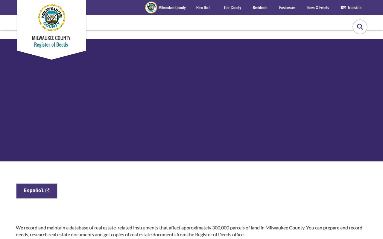
The office page should control current copy, search, and certification fees because third-party service charges can differ.
South Milwaukee Previous Residents by Year
Local city and telephone directories run from 1911 through 1980, with missing years. Search the closest year before and after a deed transfer. That brackets when a named listing first appears and last remains, though it cannot prove an exact move date. A telephone directory may list one subscriber rather than the whole household.
The South Milwaukee Public Library offers selected digital items and a physical finding aid. Its local-history collection also links newspapers, Bay Mist yearbooks, Bucyrus-Erie Scoop magazines, photographs, scrapbooks, and civic material. For the directory holdings themselves, see the South Milwaukee city directory page.
The library capture shows the local-history gateway where digital and physical research paths meet.
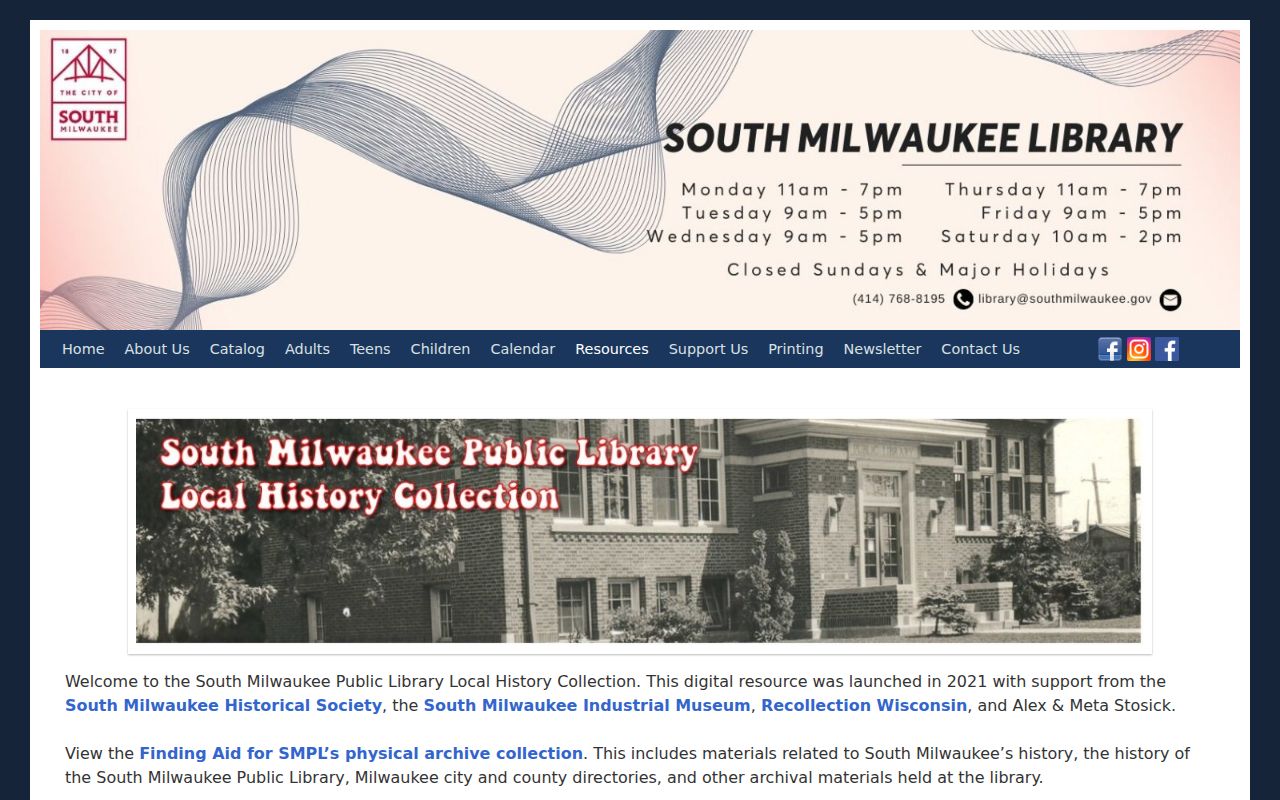
Use collection dates and gaps as evidence, not as a reason to guess between two known years.
Pair South Milwaukee Census Years
Federal population census schedules become public 72 years after Census Day. In 2026, schedules through 1950 are open, while 1960 and later remain restricted under that release schedule. A census household is a dated enumeration, not proof of residence for every day of the decade.
- Choose the nearest public census year and the South Milwaukee directory years just before and after it.
- Match the address, surname, given names, ages, and relationships shown in the census image.
- Compare the legal owner from the deed chain without assuming that owner headed the household.
- Search the local newspaper for an obituary, marriage, sale, or civic notice tied to the same name and address.
- Save the original geographic wording, especially Town of Oak Creek, village, subdivision, or legal-description labels.
No South Milwaukee-specific enumeration district map was located in the research. Use NARA finding tools and library databases, and record a negative result with the district, year, spelling, and image range searched.
Resolve South Milwaukee Address Gaps
Milwaukee changed nearly all city address numbers in 1930, but that converter is for the City of Milwaukee. No universal South Milwaukee renumbering year or crosswalk was confirmed. A similar-looking change needs local evidence from a plat, ordinance, official map, directory, or newspaper.
The place name may change too. South Milwaukee was laid out in the Town of Oak Creek in 1891, incorporated as a village in 1892, and became a city in 1897. Its official 1955 map uses eight sheets tied to township and range sections. Search both the source's original place language and a modern normalized address, keeping them in separate notes.
Bucyrus Marks South Milwaukee Time
Bucyrus provides a useful local timeline when previous residents were connected to the plant or nearby development. Operations began in 1893. Land acquisition and street, water, and sewer work developed around the company from 1912 through 1927, when the Bucyrus-Erie name appeared. The 2011 acquisition and 2016 end of main production mark later transitions.
Search those dates in directories, newspapers, Scoop magazines, photographs, and planning files. A company publication mention shows a dated connection, not a home address. Pair it with a directory, census schedule, deed, or obituary before linking a person to a South Milwaukee house.
Maps and Probate Close Gaps
Fire-insurance maps can show building footprints, materials, and use across time, but no direct official South Milwaukee Sanborn item was located. Milwaukee atlas holdings are only regional comparisons unless an item title expressly covers the address. Do not substitute a nearby city map for local proof.
Probate can carry the trail when a property passed through an estate. Milwaukee County Probate Court holds wills, estates, trusts, guardianships, and related files back to the 1830s. Later public cases may appear in Wisconsin Circuit Court Access, while older files can require an appointment or mail search. An inventory or property description may connect heirs and land, but confidential or excluded material will not appear online.
Ask South Milwaukee History Keepers
Not every previous-resident source is online. The South Milwaukee Public Library finding aid identifies local city and telephone directories, Milwaukee city and county directories, and materials kept in basement storage. Search the digital newspaper archive first, then give library staff the exact street, surname, year range, and source type. That makes it easier to distinguish an absent name from an unsearched volume.
The Milwaukee County Historical Society research library holds historic directories, deeds, court records, naturalization material, and other local collections. It offers two-hour research appointments Tuesday through Saturday in displayed time blocks, as updated in February 2026. Remote research is also available. Its form asks for full contact details and a precise research question, and the stated turnaround is roughly one to two weeks. Fees differ for simple and complex work, scans, copies, and mailing.
The South Milwaukee Historical Society operates its museum and archive at 717 Milwaukee Avenue, in a house built in 1897 on land connected with the 1892 subdivision. The volunteer group offers research contact but does not advertise a complete resident index. Ask what collection and date range were checked, then cite the specific item rather than the institution alone.
Extend South Milwaukee Household Clues
The local newspaper archive covers 1893 and 1899 through 2006 with gaps. Search the exact address, surname with initials, a likely event year, and nearby business or landmark names. Obituaries, wedding notices, property-sale reports, and public notices may connect people and places, but an advertisement can be a business address rather than a home.
Bay Mist yearbooks cover 1926 through 2012, with 1933 through 1935 absent from the stated holdings. A yearbook can confirm a dated school-community connection, photograph caption, class, or activity. It cannot establish a residence without another source. Bucyrus-Erie Scoop magazines, which span 1919 through 1983, work the same way for plant and civic ties. Record the role shown by the item, then compare it with a directory or census address.
Photographs, scrapbooks, programs, and local-history files can provide another date or place. The library identifies Roman Kwasniewski portraits, mostly from the 1920s, scrapbooks spanning 1930 through 1992, World War I portraits, and Wisconsin Spectacle programs. Captions and item metadata may be more useful than the image itself. Ask about the date, subject, source, and reproduction conditions before treating a caption as evidence.
Naturalization records can extend a family trail beyond the house. NARA finding aids describe Milwaukee federal naturalization material from 1848 through 1995. A petition may show a residence, birthplace, arrival, witness, and date, though fields differ across eras. Wisconsin Historical Society name indexes and obituary collections are useful supplements, but they are not complete. Confirm every index hit against the actual record image and its stated geographic coverage.
Confirm South Milwaukee Past Households
Previous residents are confirmed by agreement among dated sources. A directory listing can place a subscriber at an address. A census image can name a household on one enumeration date. A newspaper obituary can supply family ties and a former address. A deed can show ownership. None should silently stand in for the others.
A separately titled South Milwaukee criss-cross directory run was not found, and no official local cemetery index was located. Check whether a particular volume has an address index, ask library staff about physical holdings, and use probate or an obituary when the trail ends with a death. If a source is absent online, try the library, archive, custodian counter, mail, or a narrow Wisconsin public-records request.
Lawful use. Research South Milwaukee previous residents for house history, family history, or personal curiosity, never to track, harass, or harm a living person.