
Walk a South Milwaukee Street
A street directory search works best as a sequence. Start with one exact South Milwaukee address, establish its parcel, and then move outward to nearby lots or backward to older records. The city map may display a tax key, parcel shape, physical address, ownership field, and assessment details. Those facts describe real property. They do not identify every person who sleeps there. Residence needs separate, dated support from a directory, voter lookup used within its public purpose, newspaper notice, or another lawful record.
Keep a short log with the source, query, date, and result. It prevents a mailing address from being mistaken for the situs address, which is the physical location assigned to the parcel. It also makes gaps visible when a unit is omitted or a street suffix is stored in a different form.
- Enter the house number and street name in the City of South Milwaukee parcel and assessment page. Copy the tax key and the data date.
- Open the linked ArcGIS map. Select the parcel, then inspect adjoining parcels rather than assuming which lot is next door.
- Use Milwaukee County LandNav for property and tax context. Match the municipality, property number, and street address.
- Carry the owner name, parcel number, or legal description into the Milwaukee County Register of Deeds search. Confirm each transfer in the linked instrument.
- For a past household, search the South Milwaukee Public Library directories and newspaper archive by address and year.
South Milwaukee Parcel Map Fields
The city parcel and assessment page is the official doorway to the ArcGIS site. Its notice dates assessment and county ownership data to December 1, 2025, while map information is current January 1, 2026. These are three distinct timestamps. A later deed may not yet appear in an ownership field, and a map layer can have a newer date than the assessment roll.
The public-facing ArcGIS controls were not fully exposed in the research text. The county tutorial does confirm address fields and result concepts that help a South Milwaukee search. Use only fields actually shown in the live interface.
| Map or search field | How to use it | Important limit |
|---|---|---|
| House number, street name, type | Enter each part as the portal displays it | A suffix or directional mismatch can hide a valid parcel |
| Unit | Test a condo or apartment unit separately | Unit search was not confirmed in the city app |
| Tax key or parcel number | Bridge city, county tax, and deed sources | Copy the exact displayed format |
| Owner and mailing address | Identify the assessed owner and tax-mail destination | Neither field proves occupancy |
| Value, use, class, year built | Describe the assessed property | Labels and assessment year control meaning |
| Parcel geometry | Select the lot and its neighbors | Alleys, rights-of-way, and corner lots complicate adjacency |
The successful capture of the South Milwaukee parcel gateway shows where the city places its disclaimer and portal entry.
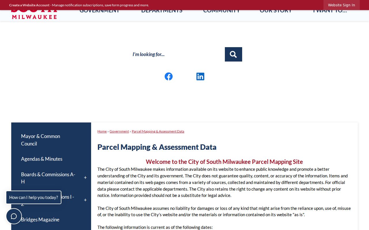
That dated gateway is the place to check before calling a parcel result current.
Read South Milwaukee Address Terms
Several record terms look alike but answer different questions. Learn them before attaching a name to a South Milwaukee street address. A parcel can be owned by a trust, company, estate, or person whose mail goes elsewhere. One tax key may also persist while boundaries or legal descriptions change.
- Parcel
- A mapped piece of land identified by a tax key or parcel number.
- Situs address
- The physical location assigned to the parcel, unlike the owner's mailing destination.
- Plat
- A recorded map that lays out lots, blocks, streets, or a subdivision.
- Criss-cross directory
- A directory arranged by address or phone rather than only by surname. A separate South Milwaukee criss-cross run was not confirmed.
When a result lists a nonlocal mailing address, report it as a mailing field. Do not convert it into a claim that the owner moved away or that another person lives at the situs.
South Milwaukee Street Record Coverage
No single South Milwaukee street directory combines all address records. Each keeper publishes a different slice, and each slice has its own date and access rules. Online maps are quick, while deed books, stored files, and library volumes can require mail, a counter visit, or staff help.
| Record Set | Keeper | What It Shows | Access |
|---|---|---|---|
| Assessment and parcel | South Milwaukee and county GIS | Situs, tax key, ownership or mailing fields, value and use | City ArcGIS, MCLIO, or LandNav |
| Recorded deed or plat | Milwaukee County Register of Deeds | Parties, legal description, transfer date, document link | Online paid service, mail, or walk-in |
| Tax account | County Treasurer and LandNav | Tax year, balance, property number, municipal description | Online inquiry or custodian request |
| Permit or inspection file | South Milwaukee Inspection Department | Address, tax key, project, owner or mailing information, date | Form or records request; no public history search found |
| Directory and newspaper | South Milwaukee Public Library | Dated listing, event, obituary, or address mention | Digital items, archive, finding aid, and in-library holdings |
| Voter information | Wisconsin Elections Commission | Individual registration match and public participation context | MyVote or a lawful Badger Voters data request |
The tax key is usually the strongest bridge. It can connect a city parcel to county property and deed records even when spelling changes. The street name then links the parcel trail to dated library material. MyVote is an individual lookup, not a downloadable street directory, and protected voters can be absent.
Deeds Along South Milwaukee Streets
The Milwaukee County Register of Deeds holds deeds, mortgages, releases, plats, transfer records, and other recorded instruments for South Milwaukee property. Search access is available online, by mail, and in person at 901 N. 9th Street, Room 103 in Milwaukee. The office is open weekdays from 8 a.m. to 4 p.m. A recorded grantee is a party receiving an interest, not necessarily a resident.
Recordings from 1962 forward support grantor, grantee, tract, and document-number paths. Deeds from April 1, 1948 forward have broader search access. Earlier deeds, from 1835 through March 31, 1948, may need a document number or book and page. Plats have separate date bands. Search the legal description or parcel when a surname search fails.
The county search page leads to Tapestry and other access choices. Tapestry can search first and last or business name, document number and type, date range, parcel, subdivision, lot, block, consideration, and metes-and-bounds text. It is a paid service, and its instructions warn that a poor result can still incur a search charge. County walk-in or mail service remains the fallback.
The captured county search page helps distinguish the index route from the office's real-estate information page.
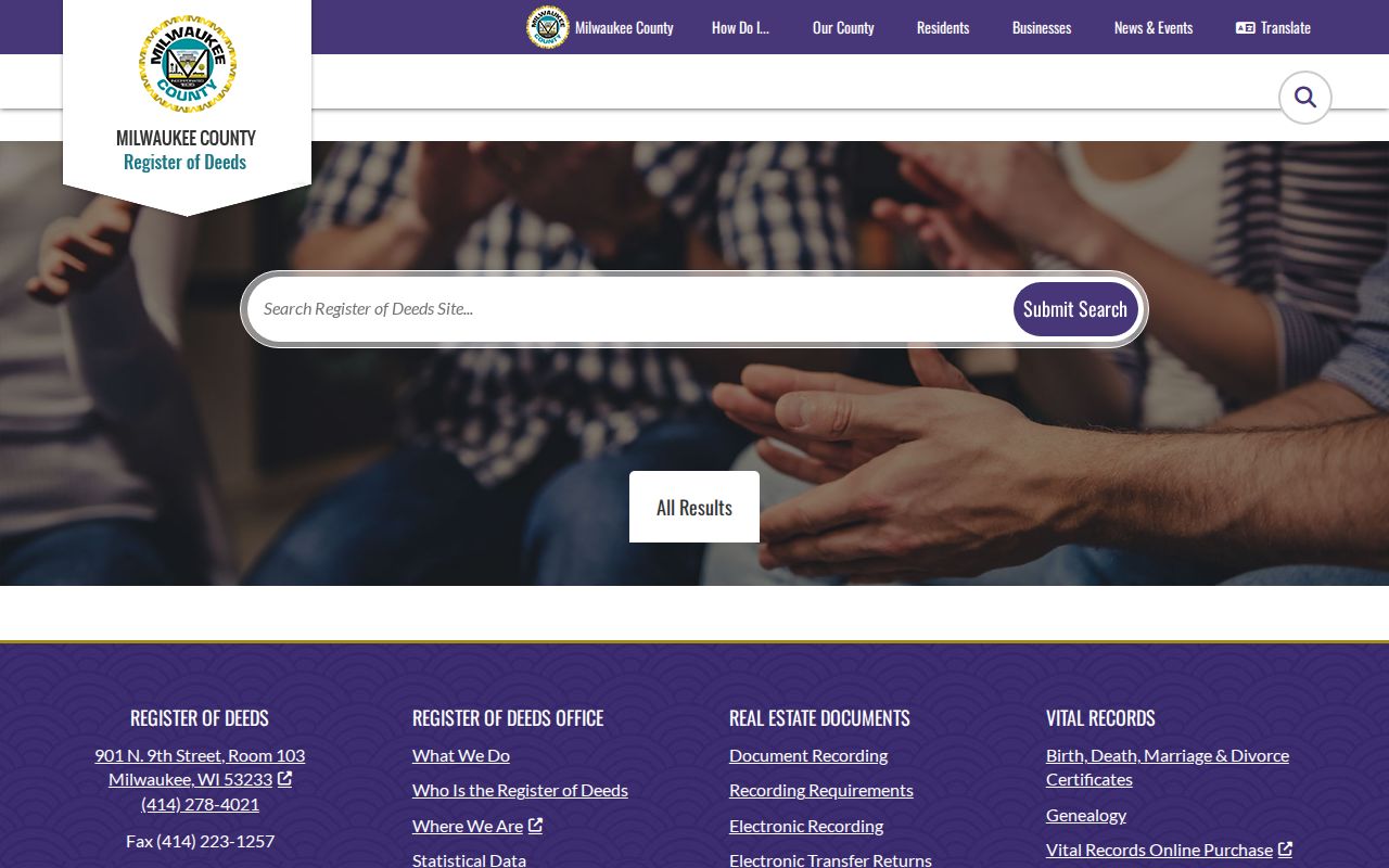
Use the access method that fits the known identifier and the age of the instrument.
South Milwaukee Permits by Address
A city permit can place construction work at an address and date. Current South Milwaukee forms ask for a tax key, address, owner or mailing details, contractor information, project type, estimated cost, and dates. That makes a permit useful for a house or block history, but no official public permit-history lookup was found.
Ask the Inspection Department or responsible city custodian for a bounded address and year range. Wisconsin Public Records Law, Wis. Stat. §§19.31–19.39, allows a request that identifies an existing record. It does not require the city to create a street directory or answer an open-ended question. State the South Milwaukee address, tax key if known, record type, dates, and desired format. If the record sits elsewhere, ask which office holds it.
Older South Milwaukee Street Evidence
South Milwaukee city and telephone directories cover 1911 through 1980 with gaps. The library's digital collection launched with local history partners in 2021, while its physical finding aid points to more material in storage. Search a year, surname, address, and street together. An entry is a dated snapshot and may name only the telephone subscriber.
A separately titled local reverse directory run was not confirmed. Check each volume for an address index instead of assuming one exists. For a broader historical trail, the South Milwaukee city directory collection has the year runs and access details. Newspapers cover 1893 and 1899 through 2006 with gaps and can connect an address to a sale, obituary, civic notice, or business advertisement.
The city's early labels also matter. South Milwaukee was laid out in the Town of Oak Creek in 1891, became a village in 1892, and incorporated as a city in 1897. Older deeds may use a subdivision, lot and block, or township and range rather than today's street line.
Check South Milwaukee Street Changes
No official, universal South Milwaukee address-renumbering crosswalk was located. Milwaukee's well-known 1930 conversion applies to the City of Milwaukee and must not be imposed on South Milwaukee. If two records appear to show the same building with different numbers, verify the change through an ordinance, plat, official map, directory, or newspaper.
South Milwaukee adopted an official map in 1955 through Ordinance 519. Its eight sheets use township and range sections, giving older legal descriptions a bridge to modern parcel geometry. For boundary questions, remember that the city borders Cudahy, Oak Creek, and Lake Michigan. ZIP 53172 is mailing geography, not proof that a parcel lies within the city.
Grant Park Street Context
Grant Park covers 381 acres, and its 1920 golf course includes a clubhouse tied to an 1892 farmhouse. Planning materials also use names such as Historic Grant Park, Lakeview, Lakeshore, Parkway Heights, South Towne, M District, Drexel Highlands, and Blakewood. These names can sharpen a newspaper or planning search.
They are context, not household evidence. Confirm the planning-map edition and the exact parcel before calling an address part of a named area. North and South Chicago Avenue, Grant Park, and Oak Creek Parkway are also planning corridors. A corridor label may lead to permits or minutes without showing who lived on the street.
Carry South Milwaukee Tax Keys
Milwaukee County's Public Portal, also called LandNav in county materials, adds tax and property context after the city map yields a tax key. Guest access supports a property or property-tax inquiry. A county tutorial documents House Number, Street Name, and Street Type filters. Results can include parcel status, property and alternate property numbers, tax year, municipal description, owner-status fields, balance, address, and tract. Read the municipal description closely so a near-boundary result is not assigned to South Milwaukee by mistake.
The Treasurer handles 2024 and earlier delinquent property taxes for county municipalities other than the City of Milwaukee. A delinquency entry is a financial event tied to a parcel, not a resident listing. Recent payments may also take one business day to appear. Use the tax year, balance date, and parcel number when matching it to a city map or deed. Current municipal taxes may follow a different collection route, so confirm the year and responsible office.
If the county portal does not return the address, remove extra punctuation, split the street suffix into its own control, and search the copied property number. MCLIO applications and data downloads are the county GIS fallback. Its landing material identifies 2024 imagery and changing service layers, so record the application and access date with any map finding.
South Milwaukee Voter Address Checks
MyVote Wisconsin can test an individual name and date of birth or an individual address. Its address form uses Street Address, Unit, City, and ZIP fields. It is not designed to reveal everyone on a South Milwaukee street. Older participation information and bulk voter data follow the separate Badger Voters request process, with fees and statutory restrictions.
Wisconsin voter records can expose names, most registration addresses, and recent participation where public, but they do not reveal a marked ballot. Safe at Home participants and confidential electors have address protections. Treat a result as a dated election record and a no-result as inconclusive. The person may be unregistered, entered under a different address form, protected, or outside the queried scope.
Use this channel only for its lawful election purpose. It can support a street directory finding when the same person and normalized address are already known, but it should never override the parcel date, deed parties, or a directory year.
Request Missing South Milwaukee Records
Online access is only one channel. The Register of Deeds accepts walk-in and mail requests as well as online searches. Milwaukee County departments accept requests through the MyCounty portal, in person, by mail, phone, or email, with each department remaining the custodian of its own records. City records begin with the City Clerk or the South Milwaukee department that created the file.
Ask for a record, not an answer about a person. A useful request identifies the address or tax key, South Milwaukee and Milwaukee County, record type, and a narrow date range. It can also ask for public indexes and linked images and request notice if the item is held elsewhere, restricted, transferred, or not located. Wisconsin law calls for a response as soon as practicable and without delay, but it does not set one universal number of days.
Fees vary by keeper and access method. Milwaukee County's real-estate page lists copy, certification, and staff search charges, while Tapestry has separate paid search and printing terms. If cost may be high, ask for an estimate and narrow the dates or document types. A bounded request is more likely to find the exact street record than a demand for every person ever tied to an address.
The Register of Deeds page lists $2 for the first document page, $1 for each added page of the same document, $1 for certification, and a $10 staff search when no document number is supplied. Tapestry instructions list different service prices and say certification is unavailable there. Check the current county page before ordering because the delivery channel controls both price and whether a certified copy can be issued.
For older material, state whether an index entry is enough or whether the linked image is needed. A useful response preserves the party name, property placement, instrument type, recording date, and document or book-and-page reference. For a permit, ask for the address, tax key, permit kind, date, and releasable project fields. This gives the custodian a finite search while keeping the result tied to the street question.
Keep negative searches too. Note the exact portal, selected municipality, address form, year range, and time checked. If the address fails in ArcGIS but appears in LandNav, the cause may be a layer change, parcel split, new address, or unit format. Contact the responsible department before deciding that the property or record does not exist.
Limits of South Milwaukee Street Records
A street directory cannot provide a complete, live household list. Parcel ownership may lag a deed. A mailing address may belong to an agent, trust, or tax recipient. Utility customer lists and DMV personal data are not public street rolls. Safe at Home substitute addresses and confidential-elector rules can also lawfully keep a home address out of view. A blank search is a source limit, not proof that no one lives there.
Use official records for property history, family research, civic transparency, or personal safety. Keep dates and source labels attached to each fact. If an online portal fails, try the city or county counter, mail, phone, or a focused records request before drawing a conclusion.
Lawful use. Use South Milwaukee address records only for lawful personal research, never to stalk, harass, intimidate, or defeat an address-protection program.